


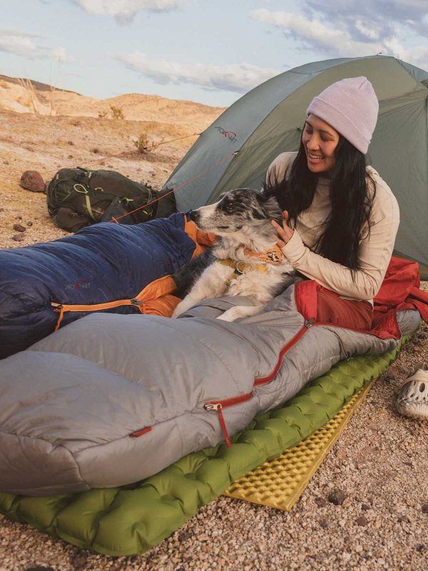


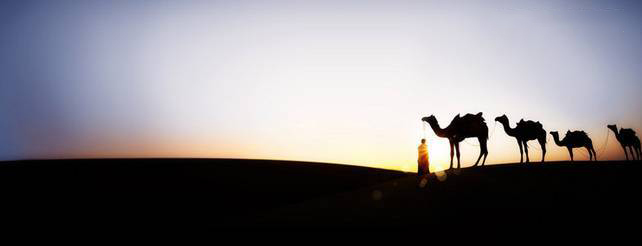
Determining Direction & Finding Routes in the Wild

Can you traverse an untrailed, unpopulated wilderness route without relying on navigation devices, GPS, or pre-existing tracks? Absolutely!

- Determining Direction
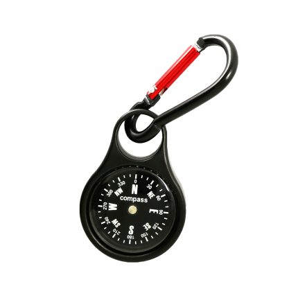
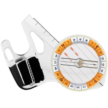
There are many methods to determine direction in the wild. The simplest and most reliable tool is a compass. Note that electronic compasses should be calibrated beforehand.
Other quick methods include using sunlight. In the Northern Hemisphere, the sun rises in the east, reaches its highest point (south) at noon, and sets in the west. By observing the sun’s position, you can estimate the time and apply the “up-north, down-south, left-west, right-east” rule for general orientation.
However, the sun is rarely directly east or west during dawn or dusk, and its position varies seasonally. Thus, this method provides only a rough estimate.
An extension of this method involves observing shadows. The length and direction of shadows (opposite to the sun) can indicate the time of day.

In overcast conditions, observe cloud movement. High-altitude airflow is generally consistent, so noting cloud direction in the morning can serve as a reference for the rest of the day.
Less reliable methods include relying on snow patterns: large snow patches often accumulate on shaded slopes (typically north-facing in the Northern Hemisphere), while sun-exposed slopes (south-facing) retain less snow.
Vegetation indicators like tree rings or leaf density are inconsistent in practice.
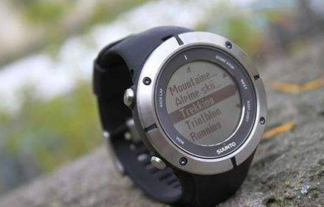
Final advice: carry a wrist-mounted compass (e.g., Suunto M9).
II. Pre-Trip Preparation
During planning, analyze key challenges (e.g., passes, campsites, landmarks) and simulate the route using satellite imagery and contour maps.
Develop contingency plans for difficult terrain (detours, alternate routes, or retreat options). This ensures you anticipate risks and challenges on the ground.
III. Strategic Route Planning
This phase determines the feasibility of your route.
Use two primary tools: satellite imagery and contour maps.
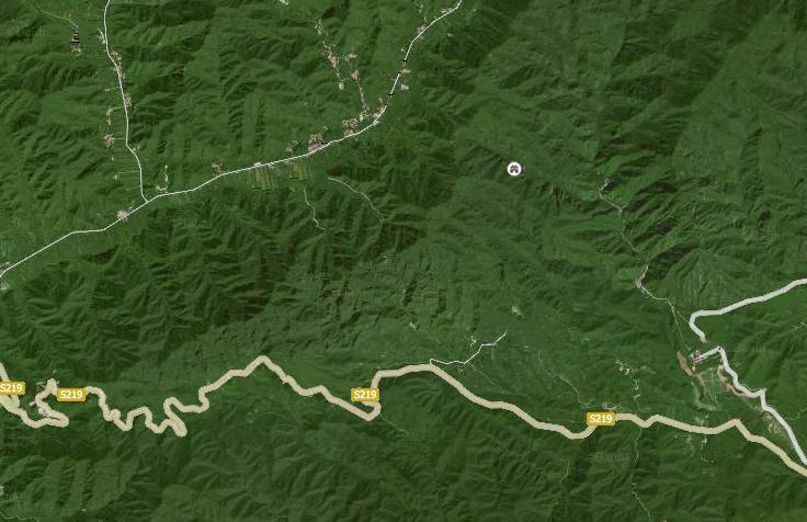
Satellite Imagery:
Identify visible paths (roads, trails, forestry tracks). Note that seasonal variations and image distortions may cause discrepancies between satellite views and actual terrain.
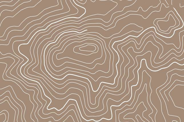
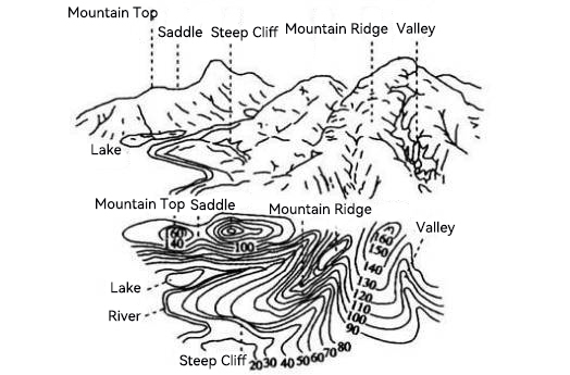
Contour Maps:
Sparse contours indicate flat terrain; dense contours denote steep slopes. Opt for high-precision contour lines (e.g., 10-meter intervals), though localized inaccuracies may exist due to interpolation.
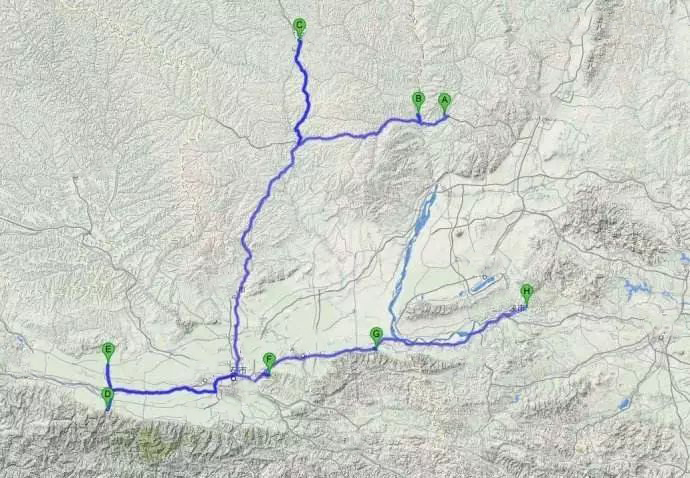
Use Google Earth for route simulation. Once validated, create a navigational path using its path tool.
IV. Tactical Route Finding During the Trip
This involves real-time navigation and terrain assessment:
Technical Navigation:
- Follow pre-planned landmarks (e.g., valleys, ridges).
- Use maps (digital or paper) to confirm location when landmarks are unclear.
- Assess passes by analyzing pre-pass topography and contour lines to ensure safe descent.
- Steep terrain? Follow contour spacing to detour.
On-Site Route Finding:
- Canyons: Trails often follow the open side. If both sides are steep, paths may ascend to bypass obstacles.
- Lost Paths: Check for missed turns or river crossings.
- Bushwhacking: Ridges are easier than slopes; riverbanks are preferable to dense forests.
- Snow-Covered Trails: Look for continuous depressions indicating buried paths.
- Guiding Principle: Maintain the correct general direction, and a viable path will emerge.
- Tools:
Route Planning: Google Earth.
Field Navigation (iOS): Xingtu app (supports KML imports from Google Earth).
In summary, thorough preparation and experience are key to staying calm and confident in the wild.
Venture deeper into the wilderness, and you’ll find unparalleled rewards—provided you’re ready. May we all roam freely without fear of losing our way.